Smarter Aerial Data for Smarter Ground Decisions
About US
Demo
About US
Demo
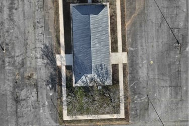
Ortho View
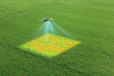
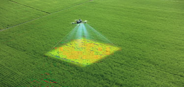
Multispectral View
FAA Commercial Drone Pilot - What Is It
Multispectral Imaging - What Is It
3D Gaussian Splatting (3DGS)
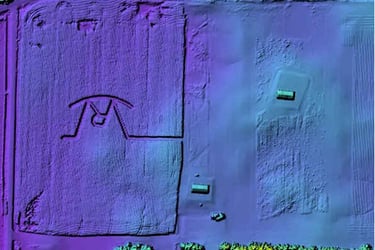
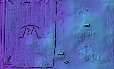
Digital Surface Model
Terrain Elevation
3D Point Cloud
Digital Surface Model - What Is It
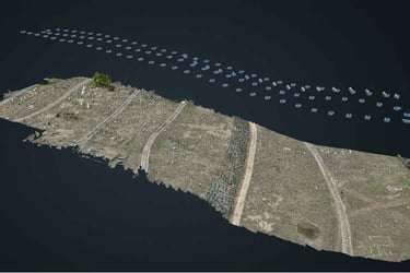
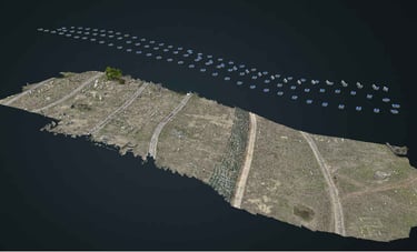
36ac Orbit
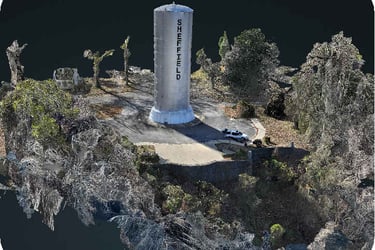
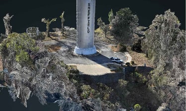
Cell Tower 50ft no Zoom Orbit
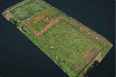
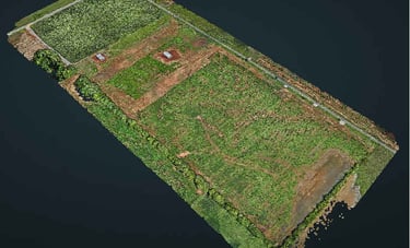
White Beeches Golf - Hole 1